Definition at line 47 of file gui.bi.
◆ Map_store()
| SUB PARdata::Map_store |
( |
BYVAL_AS_gint |
Ind | ) |
|
Remember bounding box.
- Parameters
-
Procedure storing the current map segment in the Ind memory slot.
- Since
- 0.0
Definition at line 151 of file gui.bas.
◆ Map_restore()
| SUB PARdata::Map_restore |
( |
BYVAL_AS_gint |
Ind | ) |
|
Restore a memory slot.
- Parameters
-
When a map segment (bounding box) was stored in the Ind slot, this procedure resets the map to that slot view, setting the bounding box, so that the zoom level may change when the map size changed.
- Since
- 0.0
Definition at line 173 of file gui.bas.
◆ Version
| gint PARdata::Version = &h00000000 |
Version of this parameter file.
Definition at line 49 of file gui.bi.
◆ Size
| gint PARdata::Size = SIZEOF(PARdata) |
Size in bytes.
Definition at line 50 of file gui.bi.
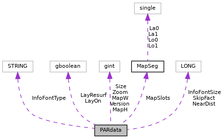
◆ MapSlots
◆ LayOn
user enabled the layer
Definition at line 53 of file gui.bi.
◆ LayResurf
| gboolean PARdata::LayResurf = TRUE |
◆ MapW
initial map widget width
Definition at line 56 of file gui.bi.
◆ MapH
initial map widget height
Definition at line 57 of file gui.bi.
◆ Zoom
map zoom level (fe!!)
Definition at line 58 of file gui.bi.
◆ SkipFact
| LONG PARdata::SkipFact = 15 |
factor to skip out of a points cloud
Definition at line 60 of file gui.bi.
◆ NearDist
| LONG PARdata::NearDist = 15 |
factor to search for closest distance
Definition at line 61 of file gui.bi.
◆ InfoFontSize
| LONG PARdata::InfoFontSize = 12 |
font size for point info
Definition at line 62 of file gui.bi.
◆ InfoFontType
| STRING PARdata::InfoFontType = "Sans" |
factor to skip out of a points cloud
Definition at line 64 of file gui.bi.
The documentation for this class was generated from the following files:


 1.8.17